Hey everyone!
I’m excited to announce that we’ve been showcased on the developmentseed.org blog!
Bit of history:
We switched from a pile of shapefiles to the Pro Parcel Fabric early 2020.
Huge thank you to Panda Consulting! I highly, highly, recommend them if you need their services. Frank was an absolute joy to work with!
We were heavy users, and promoters, of the Fabric to the point that we felt there was a need to use two Fabrics internally - one for parcel management and one for annexations and zoning. Josh did multiple workshops and sessions about the subject and worked closely with some of the Fabric developers at Esri to help give real-world examples of things that were working and not working.
In 2024/2025, we started questioning the Fabric and critically thinking about whether or not it was the tool we needed it to be. We were finding it difficult to train new staff on the Fabric and we were spending far too much time on the final 10% of the work that ultimately does not matter to a county office.
What is the role of a county mapping office?
To maintain the mapping data, right? Absolutely. However, it is not to maintain survey-grade data as that directly contradicts the law that only a Professional Land Surveyor may make these land determinations. We all have various versions of the same disclaimer: The data and layers in these maps do not represent a survey. No accuracy is assumed for the data delineated herein, either expressed or implied.
So, legally, our data is not remotely the same as recorded deeds and surveys from Professional Land Surveyors. Our job is to represent the deeds and surveys, to the best of our ability, for local government purposes. This means that we won’t be adding bearings to lines and we won’t be worried about perfectly aligning things.
What we did
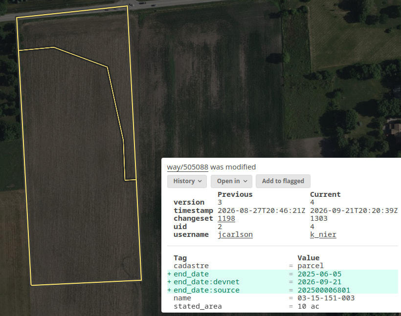
We looked around and there’s certainly no out-of-the-box alternative to Parcel Fabric, but we wanted to move our work into the OpenStreetMap ecosystem. Parcel management is not appropriate for public OSM, but the tools and data style are exactly what we need for a multitude of reasons:
- costs - besides the initial contractor cost, there is effectively no cost for us to run this
- richer data - we can add contextual lines and different linear units
- history - every single node, way, and relation that is ever adjusted has a complete time-stamped history with the user who made the edit (no Esri dataset has that)
- employee training - with the history, we can tailor training to individual needs, but moreso, this data structure is far more intuitive leading to employees being trained quicker
- time saved - the bulk of the work is done sooner and, by dropping that last 10% that no one cares about or notices, employees have more time to do other projects
Thank you so much to Ruben from Geocompas for his work on osm-seed and creating our version of OpenStreetMap that we have called Maramech (highest point in Kendall County).
We’ll probably present this at next year’s conference, but feel free to ask Josh or myself any questions!